Arctic blast hits GTA: snow and temperatures feeling like -30°C this weekend
TORONTO – If you’ve felt cold when going outside in the past few days, you’d better stay indoors starting today and for the entire weekend, because what you’ve felt so far was actually just “a little chilly” compared to what’s coming: the polar vortex. A name that is already intimidating.
Temperatures in Toronto and the GTA are expected to drop further this weekend, with a low of -22 °C forecast for the night between tomorrow (Friday) and Saturday, accompanied by persistent winds through the weekend… which means the “feels-like” temperature will be even lower. CP24 meteorologist Bill Coulter predicts that the wind chill will make it feel closer to -30 °C on the night between Friday and Saturday.
“Our ongoing weather story for the coming days, right through the weekend into next week, is going to be the colder than normal conditions that we are expecting,” said Geoff Coulson, warning preparedness meteorologist at Environment Canada, in an interview with CP24. He added that the wake-up temperature on Saturday morning — expected to be around -20 °C — will be the coldest so far this winter in Toronto, considering the seasonal average low is -10 °C. “We are going to be well below that as we finish off the work week,” Coulson said.
The incoming extreme polar cold is caused by a system known as the “Alberta Clipper”. As Coulter explains, it is a fast-moving weather system that typically does not bring much snow because it is moisture-starved, “But one of the characteristics in the wake of an Alberta Clipper, because the counterclockwise spins around low, it drags that cold continental air from the Arctic through the Prairies and the Great Lakes,” Coulter explained. “It’s very characteristic Alberta Clippers don’t give a lot of snow, five to 10 centimetres, max, but they very often, almost always, drag in that cold air pulls down…” …and if an unstable polar vortex comes into play, Coulter says, the cold air will spill directly over the Great Lakes region.
According to The Weather Network (TWN), the moderating effect of the lakes usually buffers the Arctic air that blows over southern Ontario and the GTA. However, TWN also notes that this winter there have been so many Arctic air intrusions that lake surface temperatures have cooled significantly, reducing their ability to warm the air above. So, “Bitterly cold air will then flood over central and eastern parts of Canada and the U.S. through the middle of next week,” Coulter emphasizes.
Summarizing: the “Alberta Clipper” will effectively favor a polar vortex — a kind of “frozen spinning top” that normally stays near the pole — but in this case, it will shift southward, causing an Arctic intrusion into the GTA. And it’s not over yet, because “the clash of that cold air with warmer subtropical air over the southern U.S. may also spawn a winter storm for our region on Sunday,” warns Coulter, adding that some models suggest a high-impact storm with snow accumulations between 10 and over 20 centimeters.
In short: are you ready?!
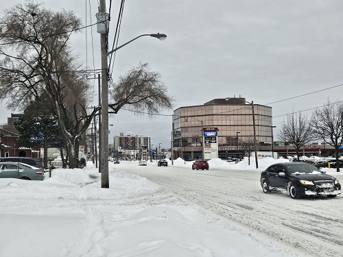
In the pic above: Dufferin Street – Orfus Road, a few days ago (photo: Corriere Canadese)